Altocumulus Clouds:Mid-altitude Cloud Heaps

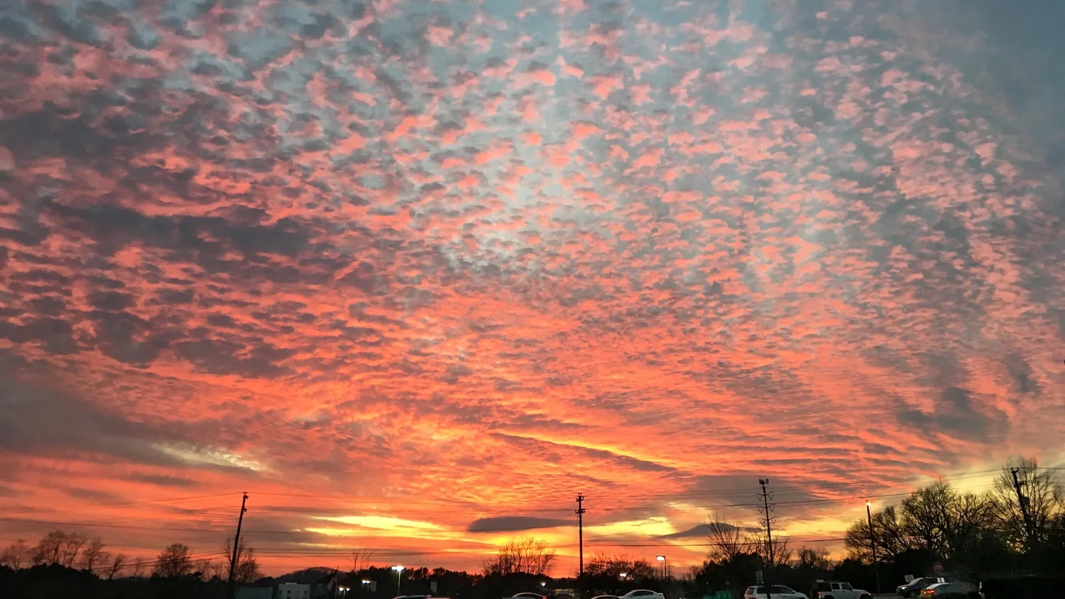
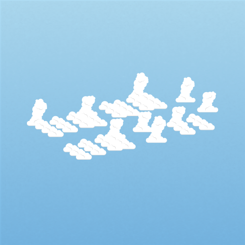
Altocumulus clouds are mid-level patches, layers, or bands made of rounded masses or rolls that often show some gray shading. Most bring little precipitation to the ground, but growing turreted forms can reveal instability and possible showers or thunderstorms later.

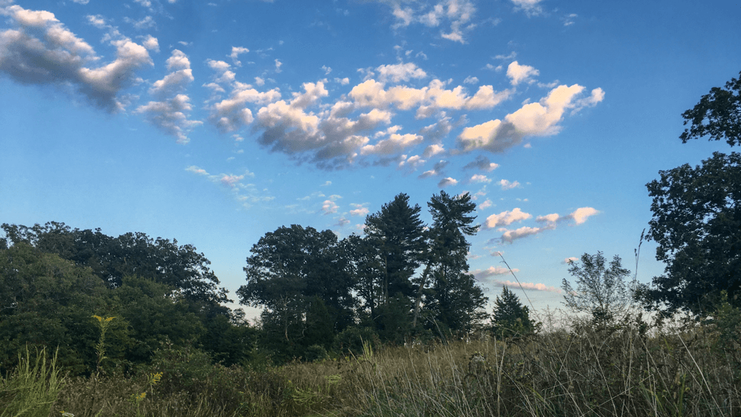
Altocumulus floccus (Ac flo)

How to identify altocumulus clouds

Middle-altitude cumuliform clouds often arranged in heaps or rolls

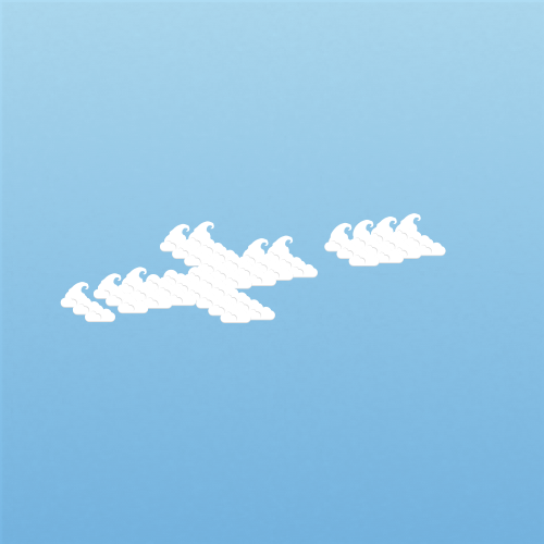
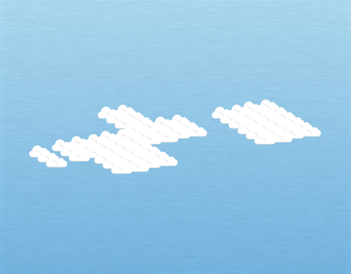
Altocumulus clouds are typically found in groups or heaps clumped together. They’re found in the middle layer of the troposphere, lower than cirrocumulus and higher than their cumulus and stratocumulus counterparts. The term mackerel sky is also common to altocumulus (and cirrocumulus) clouds that display a pattern resembling fish scales. Of all the ten different cloud types, you’ll probably find that altocumulus clouds are the one of the most diverse and dynamic in terms of appearance.

These clouds can take on a handful of shapes and sizes. They can include cloud heaps that resemble towering castles (castellanus cloud species), can sometimes resemble a lock of wool (cloud species floccus), can cover the entire sky on occasion (stratiformis cloud species), and can even create horizontal tube-like structured clouds (volutus cloud species).

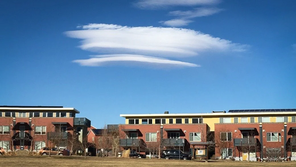
Altocumulus are also known for creating UFO-shaped clouds (lenticularis cloud species), are responsible for a lot of the fallstreak hole sightings (i.e. hole punch clouds) you might be lucky enough to see (cavum cloud feature), and on the rarest of occasion, can produce a wavy, chaotic appearance (asperitas cloud feature).

Is it altocumulus? Check these four clues

Apparent element size is helpful, but combine it with shading, sky level, and organization.

  1. Rounded mid-level elements

    Look for patches, heaps, rolls, or bands that are larger than cirrocumulus but smaller than stratocumulus.

  2. Some gray shading

    Individual elements often have a shaded side or darker center instead of appearing uniformly white.

  3. Layered or grouped pattern

    The masses commonly share a level, organize into rows, or spread through a broader field.

  4. Limited vertical depth

    Most forms remain shallow, though castellanus can grow small turrets from the mid-level base.

Read the structure within an altocumulus field

A flat patch, wave pattern, or turreted top can point to very different conditions in the middle atmosphere.

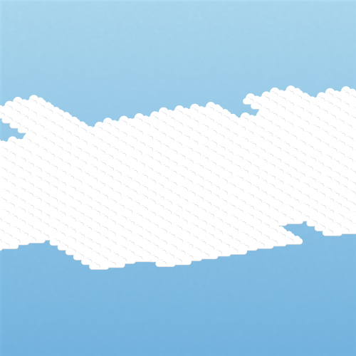
  1. 1Broad patch or layerStratiformisOften settled or transitionalRounded elements spread through a relatively flat mid-level sheet.Open the field note →
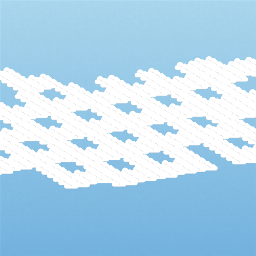
  2. 2Bands and wavesUndulatusWave motion aloftParallel rolls or bands show oscillation and wind structure at cloud level.Open the field note →
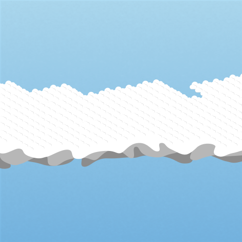
  3. 3Turrets from a shared baseCastellanusInstability is increasingCastle-like tops indicate convection rooted in the middle atmosphere.Open the field note →
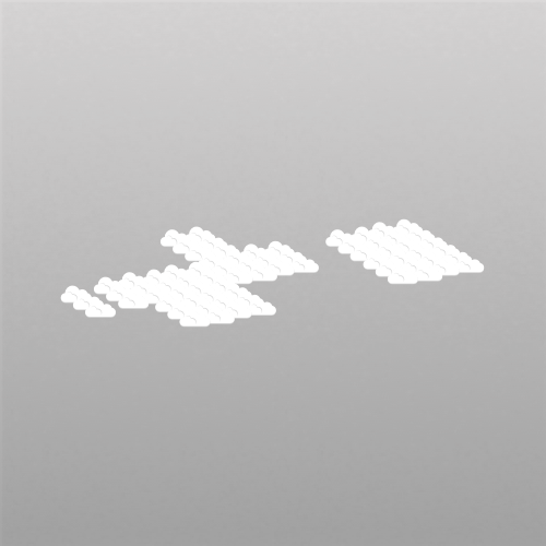
  4. 4Tufts with virgaFloccusShowers may developSmall tufts with ragged bases or fall streaks reveal localized instability and drying below.Open the field note →

Classifying altocumulus clouds beyond the cloud type

Begin with altocumulus as the cloud type, then add species, varieties, supplementary features, accessory clouds, or origin terms only when each detail is visible. Every illustration below links to its complete field note.

Altocumulus cloud species

5 cloud species are associated with altocumulus clouds. Open any field note to compare the illustration with photographs and identification guidance.

Altocumulus cloud varieties

7 cloud varieties are associated with altocumulus clouds. Open any field note to compare the illustration with photographs and identification guidance.

Altocumulus supplementary features

5 supplementary features are associated with altocumulus clouds. Open any field note to compare the illustration with photographs and identification guidance.

Compare altocumulus with similar cloud types

Use cloud-base level, texture, structure, and sky coverage together before choosing the closest match.

Altocumulus vs. cirrocumulus

Altocumulus elements are larger, lower, and often shaded. Cirrocumulus is a finer, mostly white high-level grain or ripple pattern.

Best clueVisible gray shading and elements larger than a finger at arm's length favor altocumulus.

Illustration of altocumulus clouds
Altocumulus
Illustration of cirrocumulus clouds
Cirrocumulus

Altocumulus vs. stratocumulus

Altocumulus forms smaller mid-level elements. Stratocumulus forms broader low-level rolls or masses that appear larger from the ground.

Best clueFist-sized elements at arm's length and an obviously low base point toward stratocumulus.

Illustration of altocumulus clouds
Altocumulus
Illustration of stratocumulus clouds
Stratocumulus

Altocumulus vs. cumulus

Altocumulus usually forms a field of elements sharing a middle-level base. Cumulus appears as detached low heaps growing above relatively flat bases.

Best clueA single low base supporting crisp vertical towers favors cumulus; a repeated mid-level field favors altocumulus.

Illustration of altocumulus clouds
Altocumulus
Illustration of cumulus clouds
Cumulus

See altocumulus cloud classifications in action

Follow real photographs through the visible clues that lead to each complete cloud classification.

Cover of the free cloud types ebook

Learn cloud identification with a free 80+ page ebook

Take the visual guide with you. The ebook explains the ten types of clouds with original photographs, illustrations, identification tips, and comparisons between similar clouds.

Download Here