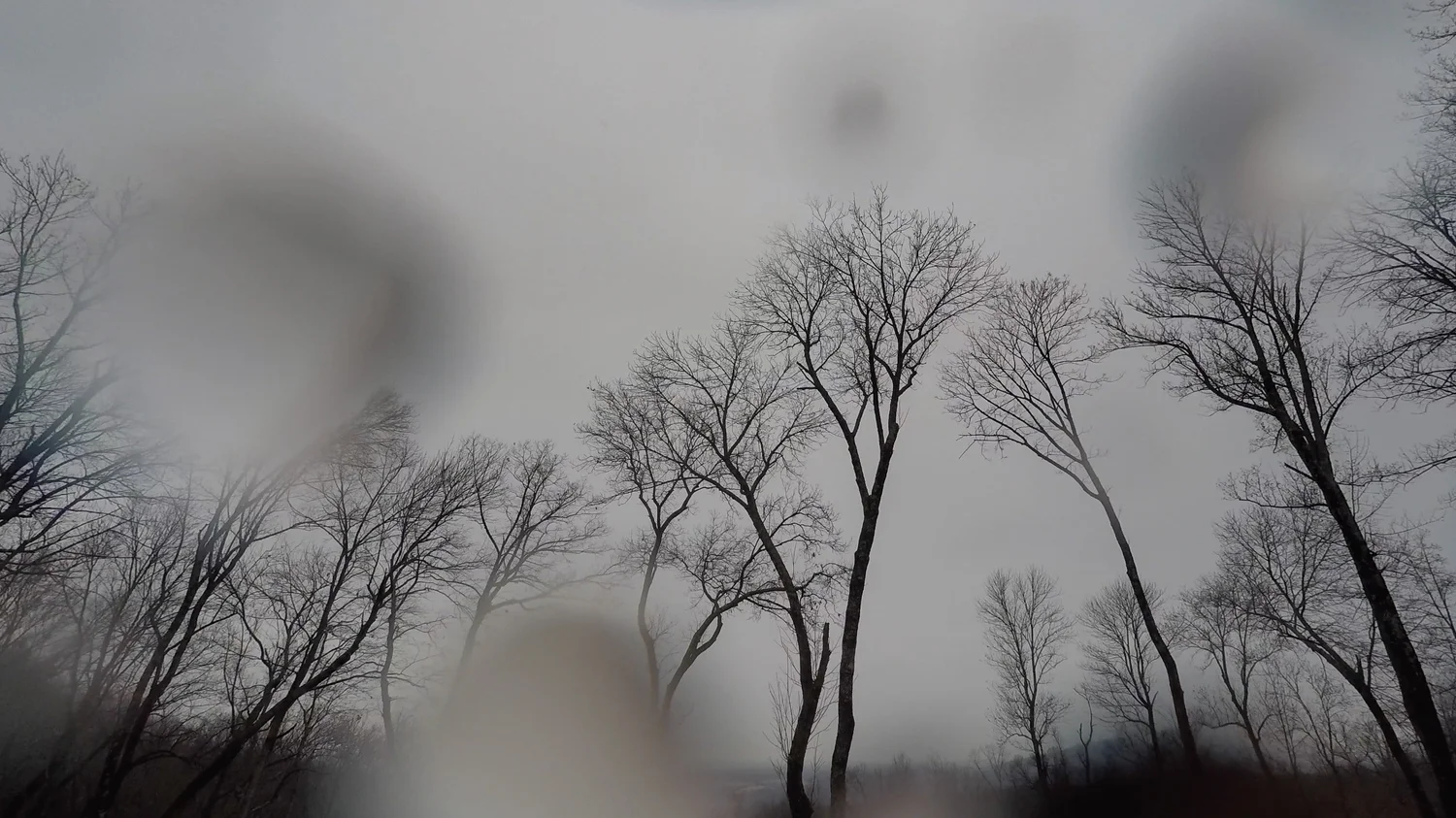
Nimbostratus Clouds:Precipitation Layer

Nimbostratus is a thick, dark, widespread cloud layer that produces continuous rain or snow over a broad area. Its base is often diffuse or hidden by precipitation and ragged lower clouds, and it lacks the distinct towers, anvils, and lightning typical of cumulonimbus.

Nimbostratus praecipitatio (Ns pra)

How to identify nimbostratus clouds

Dark and featureless layer cloud responsible for rainy and snowy weather

Nimbostratus clouds are associated with rainy, dreary days. They’re also responsible for snowy weather. Either way, these clouds are best known precipitation (and might be the cause for your outdoor activities to be postponed).

Though it’s difficult to tell visually, these clouds can be put into the category of multilevel clouds, meaning the base of a nimbostratus cloud can be found relatively close to the ground, but the tops of them can extend upwards into the middle cloud level. The thickness of a nimbostratus cloud helps give it a darker appearance than most. Of the ten main cloud types, only two are consistent precipitation producers: nimbostratus and cumulonimbus.

Nimbostratus are responsible for continuous precipitation where cumulonimbus are more likely associated with more dramatic weather, including quick-hitting extreme downpours. So if it’s raining, and has been raining all day, you’re witnessing a nimbostratus cloud.


Is it nimbostratus? Check these four clues

Identify the combination of a deep featureless layer and sustained precipitation, not darkness alone.

  1. Steady precipitation

    Rain or snow is widespread and persistent rather than confined to one brief shower shaft.

  2. Dark, featureless deck

    The main cloud body has little visible cellular structure and usually covers most or all of the sky.

  3. Diffuse cloud base

    Precipitation often hides the exact base, while ragged pannus clouds move below it.

  4. No anvil or thunder

    The layer lacks the sharply rising tower, fibrous anvil, and electrical activity of cumulonimbus.

Read the structure beneath nimbostratus

The obscured base, precipitation intensity, and lower ragged clouds reveal how the deep layer is organized.

  1. 1Altostratus thickensDeepening layerSteady precipitation nearingA middle-level gray sheet lowers, darkens, and loses any view of the Sun.Open the field note →
  2. 2Continuous rain or snowPraecipitatioWidespread wet weatherPrecipitation reaches the ground across a broad area and blurs the cloud base.Open the field note →
  3. 3Ragged clouds belowPannusVery moist lower airLow scud-like fragments form beneath the main layer in evaporating precipitation.Open the field note →
  4. 4Coverage becomes unevenBreaking layerPrecipitation easingAs the system departs, the deep sheet may thin into lower stratus or stratocumulus patches.Open the field note →

Classifying nimbostratus clouds beyond the cloud type

Begin with nimbostratus as the cloud type, then add species, varieties, supplementary features, accessory clouds, or origin terms only when each detail is visible. Every illustration below links to its complete field note.

Nimbostratus supplementary features

2 supplementary features are associated with nimbostratus clouds. Open any field note to compare the illustration with photographs and identification guidance.

Nimbostratus accessory clouds

1 accessory cloud is associated with nimbostratus clouds. Open any field note to compare the illustration with photographs and identification guidance.

Compare nimbostratus with similar cloud types

Use cloud-base level, texture, structure, and sky coverage together before choosing the closest match.

Nimbostratus vs. altostratus

Nimbostratus is deeper, darker, and precipitation-bearing. Altostratus may be thinner, with the Sun sometimes visible as a diffuse disk.

Best cluePersistent rain or snow beneath a fully opaque layer favors nimbostratus.

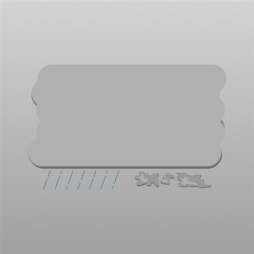
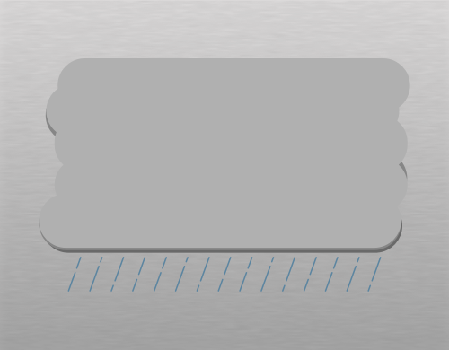
Illustration of nimbostratus clouds
Nimbostratus
Illustration of altostratus clouds
Altostratus

Nimbostratus vs. stratus

Nimbostratus is a deep multilayer cloud with widespread steady precipitation. Stratus is a shallow low deck that more often produces drizzle or light snow grains.

Best clueSustained moderate precipitation and a base obscured through depth point to nimbostratus.

Illustration of nimbostratus clouds
Nimbostratus
Illustration of stratus clouds
Stratus

Nimbostratus vs. cumulonimbus

Nimbostratus spreads as a broad, largely featureless precipitation layer. Cumulonimbus is a vertically developed storm cloud with towers, an anvil, showers, and possible lightning.

Best clueThunder, an anvil, or a concentrated convective rain shaft means cumulonimbus.

Illustration of nimbostratus clouds
Nimbostratus
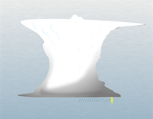
Illustration of cumulonimbus clouds
Cumulonimbus
Left-facing spiral-bound mockup of The Complete Guide to the Ten Different Types of Clouds and How to Identify Them

Learn cloud identification with a free 136-page ebook

Take the visual guide with you. The ebook explains the ten types of clouds with original photographs, illustrations, identification tips, and comparisons between similar clouds.

Download Here