Search What's This Cloud

Cumulonimbus Clouds:Thunderstorms

Cumulonimbus clouds are deep, towering storm clouds that grow from a low base through much of the troposphere and often develop a smooth, fibrous, or anvil-shaped top. They can produce heavy rain or snow, lightning, hail, strong wind, and other severe weather.

Cumulonimbus capillatus incus (Cb cap inc)

How to identify cumulonimbus clouds

Dark-based storm cloud capable of impressive vertical growth and heavy precipitation

Cumulonimbus clouds are responsible for stormy weather. If you’re looking up at a cloud that’s causing rainy and windy conditions, creating hail, thunder, and lightning, you’re in close proximation of a cumulonimbus cloud. If you’re observing this cloud from a distance, what will stand out most is the cloud’s impressive height.

The cumulonimbus cloud is the only cloud that extends through all three cloud levels. Its base can be very low to the ground, and its top can extend to the highest layer of the troposphere. The top of the cloud might take on a bald appearance (calvus cloud species), or it can take on a hairy and fibrous upper portion (capillatus cloud species).

The more potent cumulonimbus clouds can create a handful of cloud features. Above the main cloud, an anvil cloud (incus cloud feature) can form, where the cloud hits the top of the troposphere and spreads out across the sky. Additionally, you might find the most dramatic examples of mammatus clouds (mamma cloud feature) in the upper portion of a cumulonimbus, caused by pockets of sinking air.

Closer to the ground, cumulonimbus clouds are also responsible for shelf clouds (arcus cloud feature), wall clouds (murus cloud feature), tail clouds attached to the wall cloud (cauda cloud feature), a beaver tail cloud that acts like a river of moisture feeding into the storm (flumen cloud accessory) and even funnel clouds (tuba cloud feature).

Is it cumulonimbus? Check these four clues

Look for the full vertical structure and the upper cloud, not only a dark base or a heavy shower.

  1. Great vertical depth

    A low, dark base supports a massive tower that can reach the upper troposphere.

  2. Glaciated upper edge

    The top becomes smooth, fibrous, or striated as water droplets freeze into ice crystals.

  3. Anvil possible

    Mature storms often spread downwind into a flat incus or anvil near the tropopause.

  4. Storm weather

    Heavy precipitation, lightning, hail, gust fronts, or strong outflow can accompany the cloud.

Read the cumulonimbus life cycle

The transition from crisp liquid-water towers to a fibrous ice top marks the most important classification change.

  1. 1Towering cumulusCongestusHeavy showers possibleA tall cauliflower tower is still cumulus while its upper edges remain sharply defined.Open the field note →
  2. 2Smooth developing topCalvusThunderstorm developingThe upper tower begins to lose crisp outlines as glaciation starts.Open the field note →
  3. 3Fibrous ice topCapillatusMature thunderstormHair-like or striated ice features spread from the cloud's upper portion.Open the field note →
  4. 4Anvil spreads outwardIncusStrong mature stormThe top flattens and fans downwind after reaching a stable layer near the tropopause.Open the field note →

Classifying cumulonimbus clouds beyond the cloud type

Begin with cumulonimbus as the cloud type, then add species, varieties, supplementary features, accessory clouds, or origin terms only when each detail is visible. Every illustration below links to its complete field note.

Cumulonimbus cloud species

2 cloud species are associated with cumulonimbus clouds. Open any field note to compare the illustration with photographs and identification guidance.

Cumulonimbus supplementary features

8 supplementary features are associated with cumulonimbus clouds. Open any field note to compare the illustration with photographs and identification guidance.

Cumulonimbus accessory clouds

4 accessory clouds are associated with cumulonimbus clouds. Open any field note to compare the illustration with photographs and identification guidance.

Cumulonimbus other clouds

1 other cloud is associated with cumulonimbus clouds. Open any field note to compare the illustration with photographs and identification guidance.

Compare cumulonimbus with similar cloud types

Use cloud-base level, texture, structure, and sky coverage together before choosing the closest match.

Cumulonimbus vs. cumulus

Cumulonimbus has deep storm-scale growth and a glaciated upper portion. Cumulus keeps crisp, rounded liquid-water tops and usually less vertical depth.

Best clueA smooth or fibrous top, anvil, or lightning means cumulonimbus rather than cumulus.

Illustration of cumulonimbus clouds
Cumulonimbus
Illustration of cumulus clouds
Cumulus

Cumulonimbus vs. nimbostratus

Cumulonimbus is a concentrated vertical storm with convective precipitation. Nimbostratus is a broad, deep, mostly featureless layer with sustained precipitation.

Best clueTowering structure, an anvil, or thunder favors cumulonimbus; a continuous rain shield favors nimbostratus.

Illustration of cumulonimbus clouds
Cumulonimbus
Illustration of nimbostratus clouds
Nimbostratus

See cumulonimbus cloud classifications in action

Follow real photographs through the visible clues that lead to each complete cloud classification.

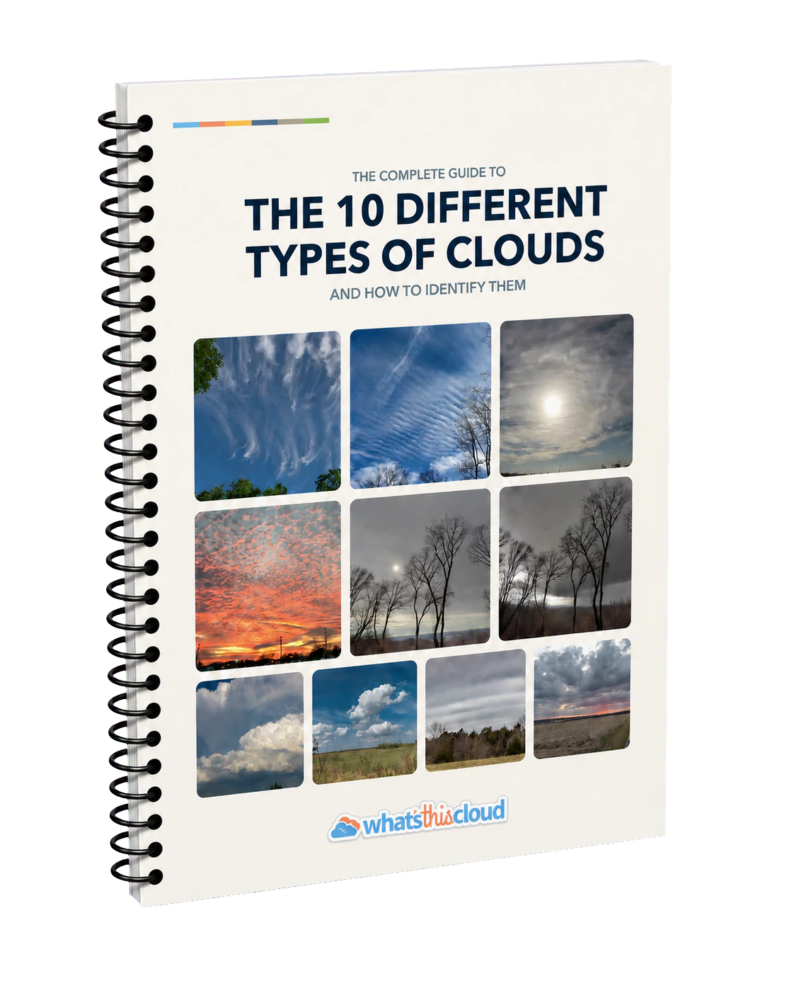
Cover of the free cloud types ebook

Learn cloud identification with a free 80+ page ebook

Take the visual guide with you. The ebook explains the ten types of clouds with original photographs, illustrations, identification tips, and comparisons between similar clouds.

Download Here